From
the USGS website:
- USGS
Topographic Maps
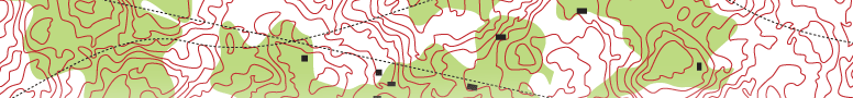
Most USGS topographic maps use brown contours to show the shape
and elevation of the terrain.
- USGS
Business Partners for Maps
This web site is designed to help customers find and contact
USGS Business Partners that retail USGS maps. Although USGS
hosts this site as a service to the Business Partner network,
specific information on each retailer is maintained by that
retailer.
- Map
Information
Learn about, locate, view, download, or order topographic, geologic,
and other special purpose maps and charts in a variety of printed
and digital formats.
- How
to Order Products from the USGS
This page provides ordering information for the wide range of
products available for sale from the USGS.
- Map
Prices
Current price information for maps available from USGS can be
found here.
- Topographic
Map Symbols
A topographic map shows more than contours. The map includes
symbols that represent such features as streets, buildings,
streams, and vegetation.
Downloads:
-
Map
Order Form (PDF)
Use this form to order USGS maps, books, and other published
products by mail or fax.
- Topographic
Map Symbols (PDF)
A topographic map shows more than contours. The map includes
symbols that represent such features as streets, buildings,
streams, and vegetation.
|
Other
links:
- Greenberg
& Lieberman
Greenberg & Lieberman is an Intellectual Property Law Firm,
which is registered to practice before the U.S. Patent and Trademark
Office (USPTO). It is the firm that wrote and filed the patent
for the TopoCover™.
- TopoZone
You can easily browse through a complete list of every USGS
topo map by name, or look through lists of place names sorted
by type or by county. Just click on a state name below to start
browsing.
|